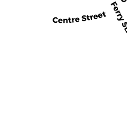
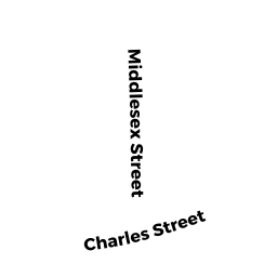
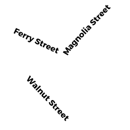
163 FERRY ST
Owner Information
PFITZER CAITLIN F PFITZER MICHAEL
163 FERRY ST
MALDEN, MA 02148


Property Details
163 FERRY ST is classified as a Two-Family Residential (Multi-grd).
The primary structure on this property was built in 1890. There are 2,408ft2 of built area within this property. There is 2,408ft2 of residential/living space within this property. This property is listed as having 11 rooms. There are 2 units within this property.
163 FERRY ST is valued at $858,500. The land is valued at $181,200 and the structures are valued at $677,300.
The most recent deed for 163 FERRY ST is recorded at the local registrar in Book 71198, Page 264. 163 FERRY ST was last sold on Friday, June 22, 2018 for $840,000.
Assessment data from fiscal year 2021.
Flood Data
According to the FEMA National Flood Hazard Layer, this property does not appear to be in a flood zone. It may also be in an area not yet reviewed. Nonetheless, confirm this information prior to taking any action.
To view the flood hazards around this property, create a FEMA "Firmette" Map of the area around 163 FERRY ST.
Broadband Internet Providers
| Provider | Type | Bandwidth (mbps) | |
|---|---|---|---|
| Verizon New England Inc. | DSL | 15 | 1 |
| Viasat Inc | Satellite | 100 | 3 |
| VSAT Systems, LLC. | Satellite | 2 | 1 |
| HughesNet | Satellite | 25 | 3 |
| GCI Communication Corp. | Satellite | 0 | 0 |
| netBlazr Inc | Fixed Wireless | 50 | 50 |
| Starry, Inc. | Fixed Wireless | 200 | 200 |
| Comcast | Cable | 1000 | 35 |
| Verizon New England Inc. | Fiber | 940 | 880 |
Broadband service provider data from December 2020.
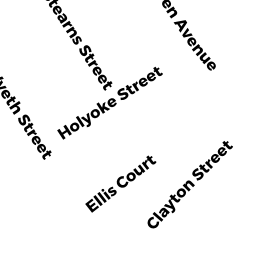
Adjacent Properties
- 179 FERRY ST
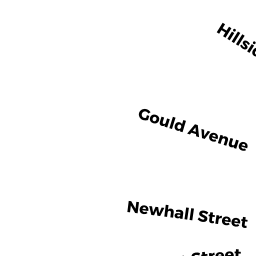
Apartments with More than Eight Units owned by CURCIO ROBERT D TRUSTEE - 20 HILLSIDE TR
Single Family Residential owned by CRUIKSHANK HERBERT E - 18 HILLSIDE TR
Single Family Residential owned by CHEN RENAN - 19 GARFIELD TR
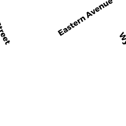
Three-Family Residential owned by AYUK PETER O - 77 EASTERN AV
Automotive Vehicles Sales and Service owned by PELOSI RICHARD A & MARGARET J - 165 167 FERRY ST
Apartments with Four to Eight Units owned by SULLIVAN JAMES & CHRISTINE F TRS 165-167 FERRY ST - 149 FERRY ST
Auto Repair Facilities owned by FERRI GROUP LLC